 Biking Illinois: 60 Great Road Trips and Trail Rides
 Ride 47: Lewis and Clark
Biking Illinois: 60 Great Road Trips and Trail Rides
|
Order here: |
Hartford, IL July 20, 2005
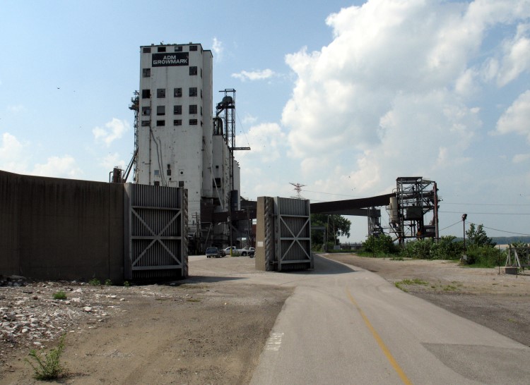
When I started writing Biking Illinois, I knew the Chain of Rocks Bridge had to be included. I have a fairly long history with the bridge since I used to be a Route 66 fanatic. I first explored the bridge in 1990. Back then, there was a big mound of dirt blocking automobile access, but the old bridge was still unofficially open to the adventurous. I walked to Missouri and back, pausing frequently to take pictures of the grand steel structure. Although no one else was on the bridge when I was there, I found the surrounding area to be pretty creepy. A few years later, I wasn't surprised to learn of terrible crimes committed there -- the area is so isolated and so close to economically depressed towns like Madison and East Saint Louis that it was only a matter of time. The following years were the darkest for the bridge. A chain link fence prevented anyone from exploring, and the future existence of this mile-long white elephant was in doubt.
Fortunately, a local transportation organization called Trailnet recognized a great opportunity to create a bicycling and walking corridor. During the years when Trailnet was fixing up the bridge (mostly adding safety and security features the structure and deck were still in decent condition), I got to drive on the bridge a couple of times. The Route 66 Association of Illinois has an annual " motor tour" of the old road between Chicago and Saint Louis. As a fundraiser, Trailnet requested a donation ($20-25?) from each vehicle to drive over the bridge, which had been closed to motor traffic since the 1960s. Needless to say, Route 66 aficionados were happy to contribute so they could drive this hallowed pavement once more.
My bicycle became the third mode of transportation I used to cross the Chain of Rocks Bridge. But as much as I wanted to include the bridge in my book, this day's ride almost killed me. I didn't start riding until noon because I had to get a flat tire on my rental car repaired that morning. It was wickedly hot and humid, and the late start proved to be my undoing.
I wasn't exactly sure what to include in this ride. I prefer loops to out-and-back rides, so I began exploring various trails and bike routes near Lewis & Clark State Historic Site that might create a pleasant loop. This turned out to be a colossal waste of time and stamina.
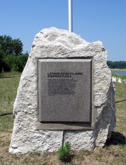
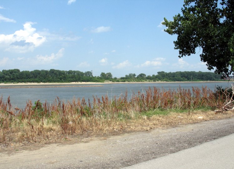
Sometime in the early 1990s, my brother and I visited the monument to Lewis & Clark near the confluence of the Mississippi and Missouri Rivers. The access road was rough, so we parked and started hiking. We came to a flooded-out spot in the gravel and were about to turn around when some guys showed up in a pick-up truck. We hitched a ride to the monument and back with them (fortunately they were just regular guys, not serial killers). But that monument was swept away by the mighty river (probably in 1993). Not only is the monument gone, but I think the land it stood upon was flushed downstream.
I visited the new monument via bicycle, although I didn't include that part of my day in the " official" Ride 47. It's not particularly monumental, just a rock with a plaque and a flagpole. Considering the capricious nature of the river, I can understand why it wouldn't merit a bigger financial investment. The second photo shows the current confluence.

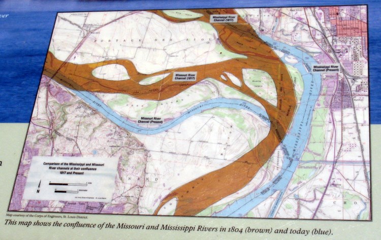
This map shows that the current confluence isn't in the same place as when Lewis & Clark were here two centuries ago.
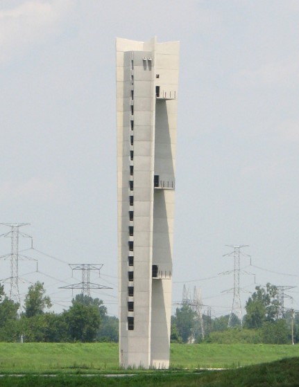
The newest attraction in the area was the Lewis & Clark Confluence Tower, which was scheduled to open in September 2006. Alas, they ran out of money, and it was still unfinished four years after my visit.
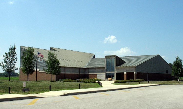
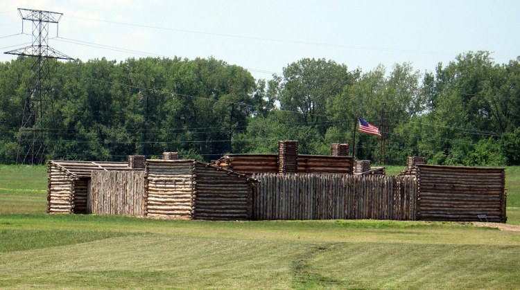
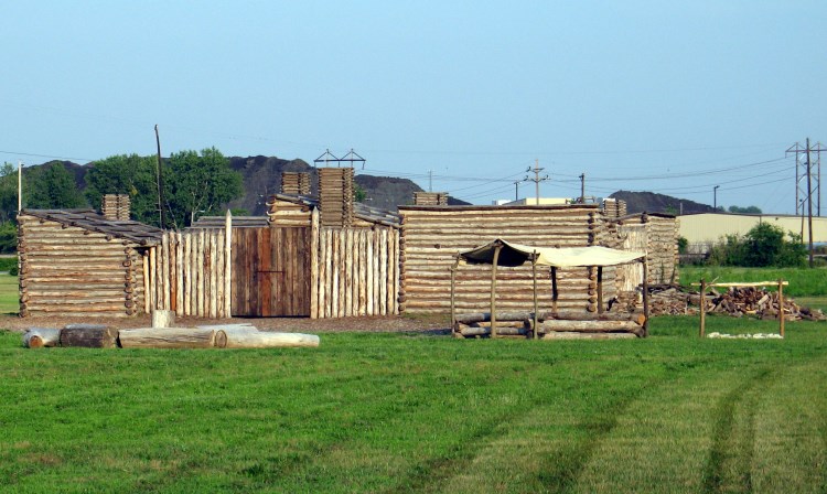
Lewis & Clark State Historic Site has two main features, a museum and a replica of Camp River DuBois.
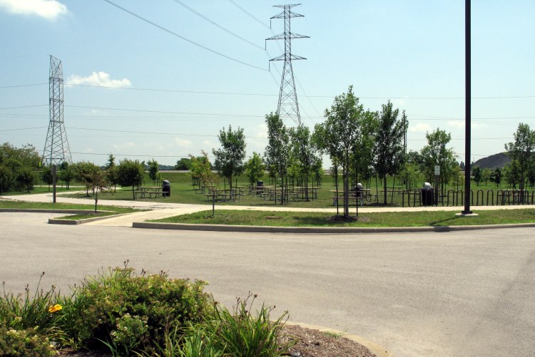
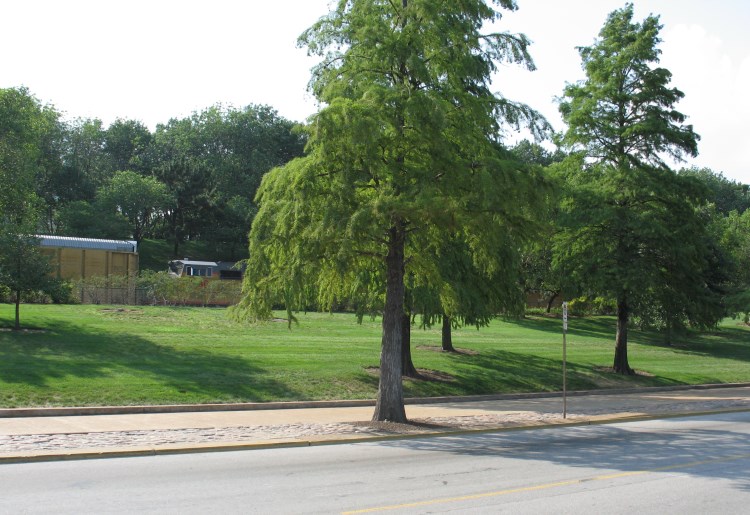
I arbitrarily decided to officially start Ride 47 by the bike racks:
Here is a view of the historic site building and camp from the trail behind:

Where the Confluence Trail appears to join the Mississippi, it's really running beside the Chain of Rocks Canal.

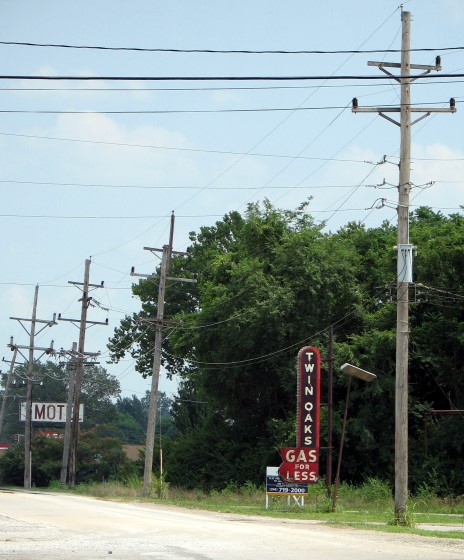
Chain of Rocks Road features a lot of old neon signs for tourist services opened back when this was Route 66. This photo is taken from the route of Ride 47 the best signs are further east.
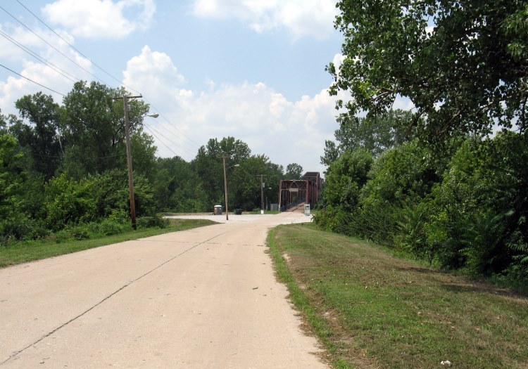
Follow this U-turn to get onto Chain of Rocks Road. The bridge over the Chain of Rocks Canal is visible in the distance.
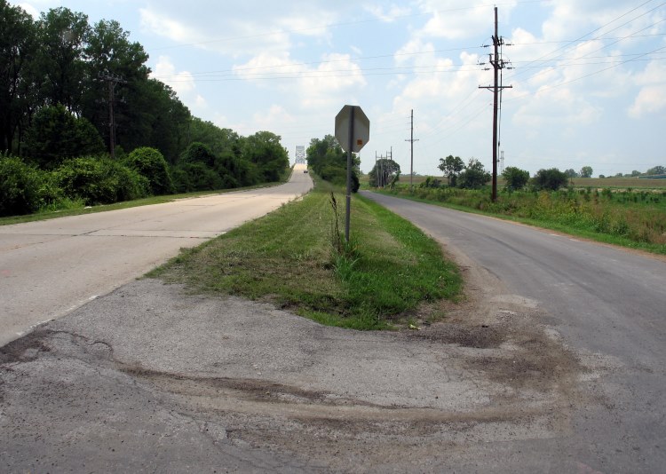
The Chain of Rocks Canal Bridge has changed quite a bit since 2005, but this is what it used to be like:
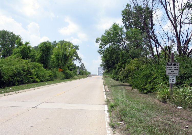
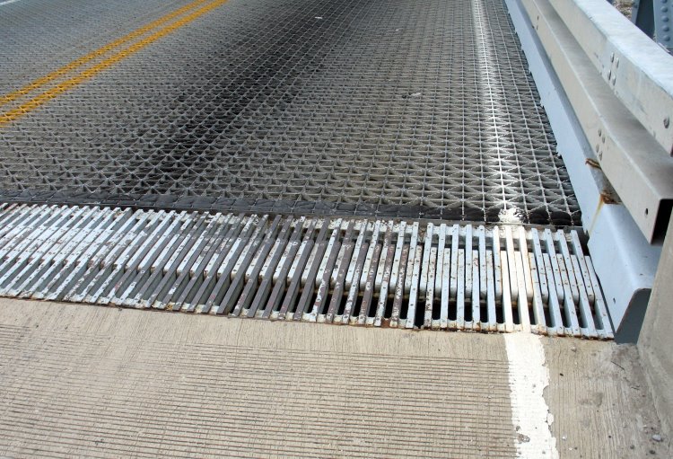
The bumpy ride and poor visibility over the hump made crossing the bridge pretty nerve-wracking. Now it's one-way-at-a-time for motor vehicles, and the metal gridwork with its nasty, bike-tire-swallowing joints has been covered.
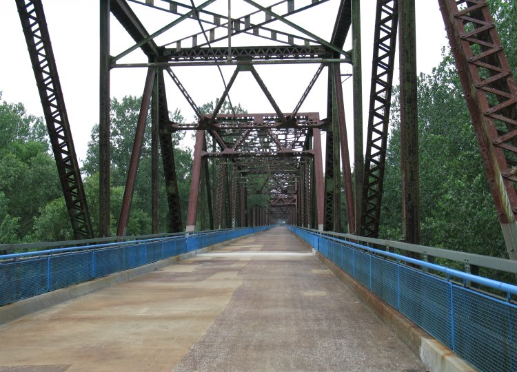
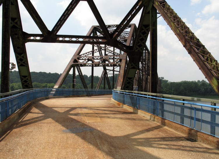
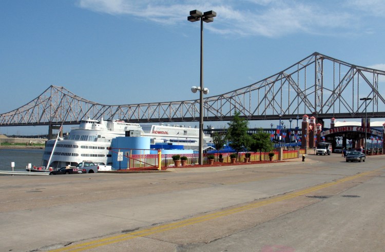
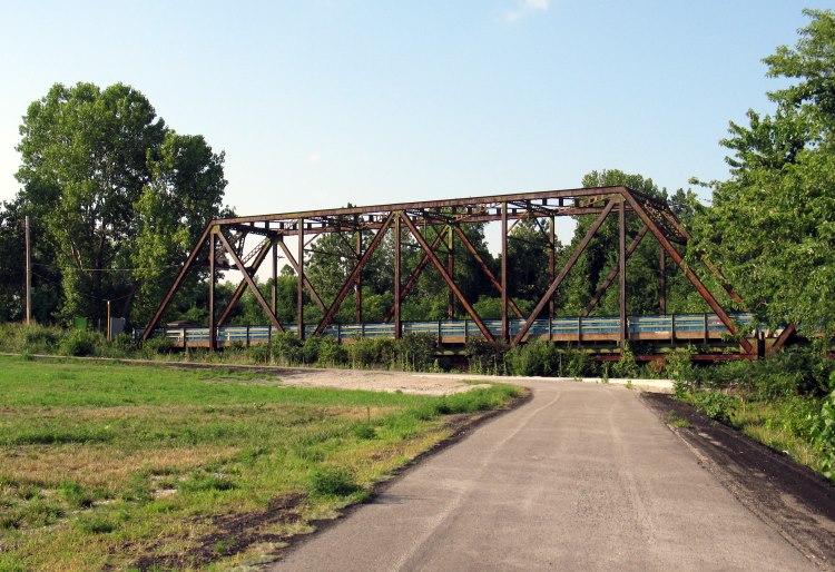
Finally, the Chain of Rocks Bridge is in sight:
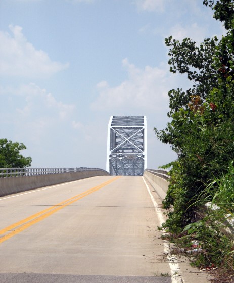
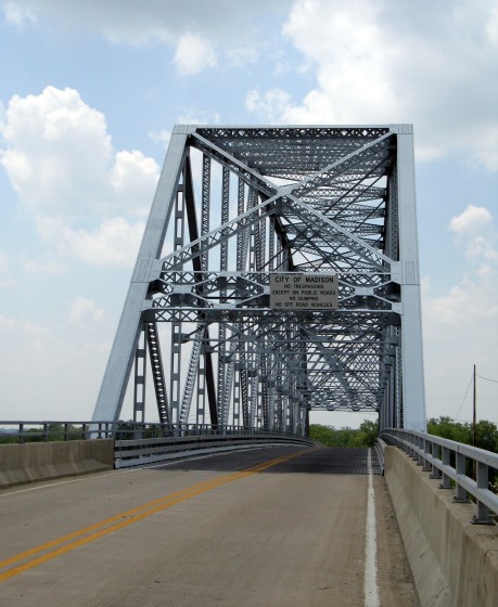
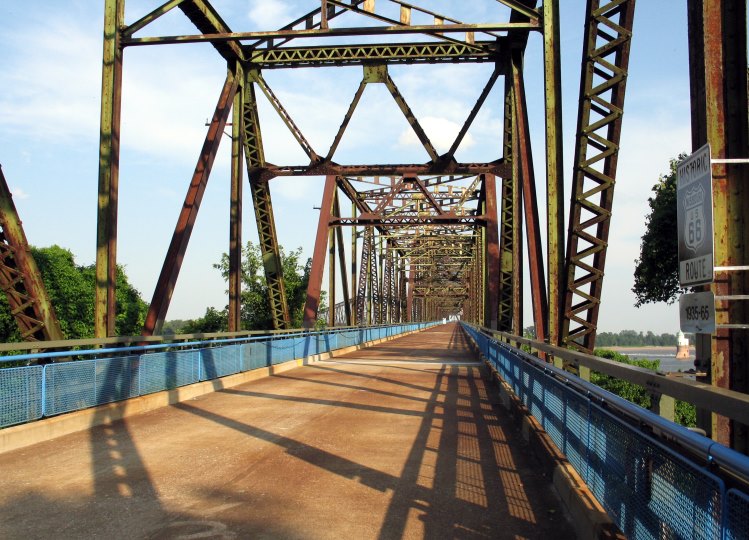
Over the past two decades, I've taken dozens, maybe even hundreds of pictures of this bridge. I suppose this trip is notable as my first visit with digital equipment. Maybe someday I'll scan and upload my older photos (don't hold your breath). The blue fencing is the most prominent addition from Trailnet.


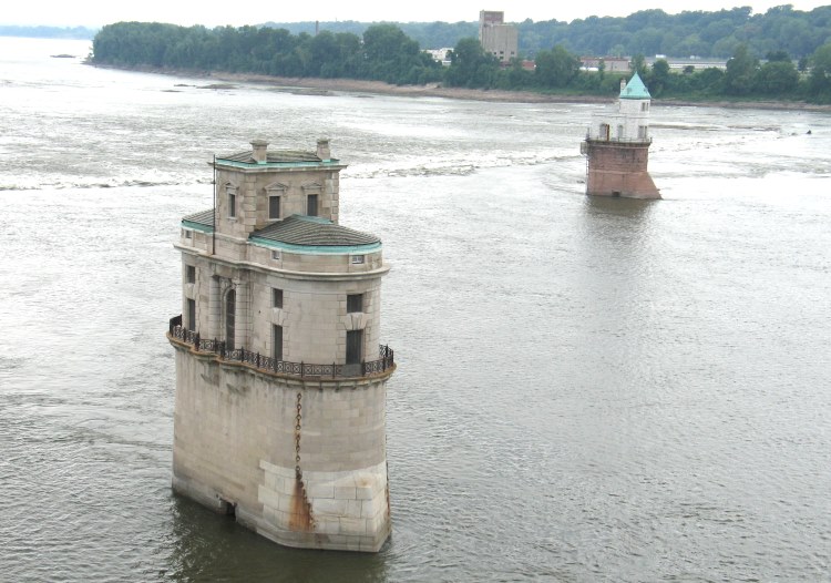
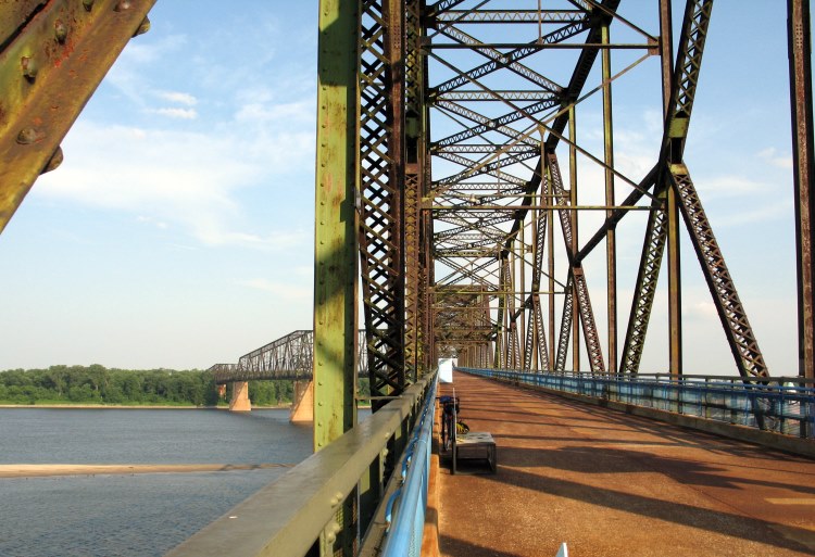
These unique structures, which are best viewed from the Chain of Rocks Bridge, used to be intakes for Saint Louis' public water supply.
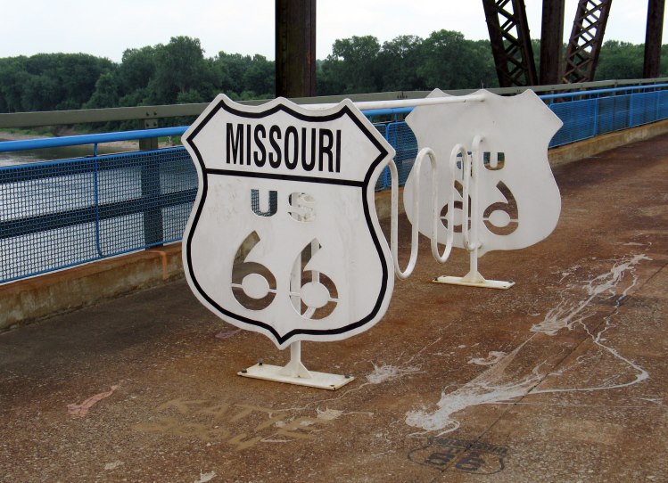
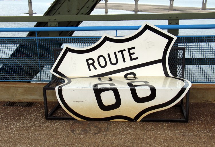
Here are two whimsical Route 66 additions to the bridge from Trailnet.
I haven't seen many portable toilets on bridges. Young boys are no doubt tempted to pee through the railing into the river. Well, I know I would have been at that age.

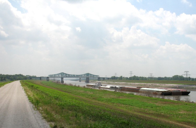
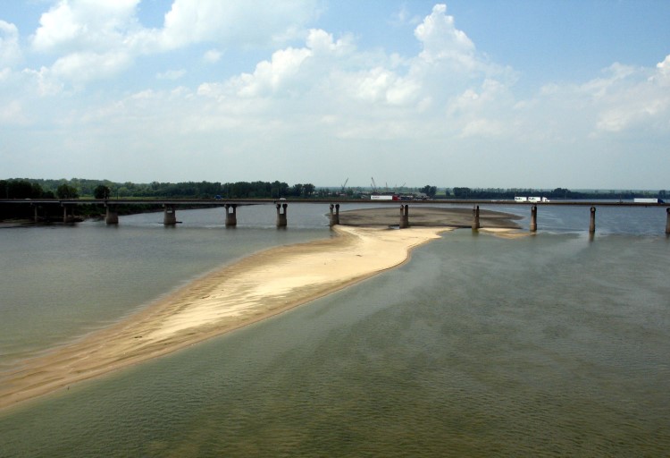
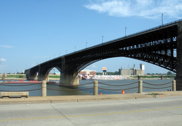
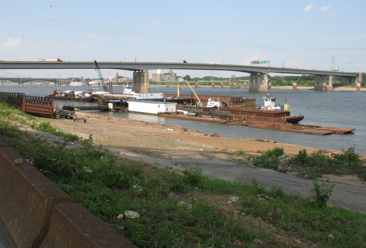
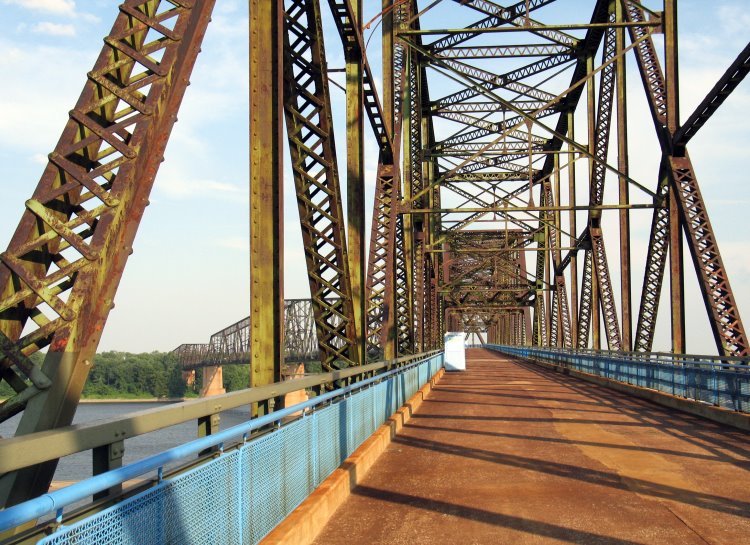
This view of the " new" Chain of Rocks Bridge carrying I-270 (in practice, I've never heard the locals call it that -- the only Chain of Rocks Bridge is the original). The sandbar shows how shallow the river was in summer 2005 (certainly the biggest sandbar I've ever seen there -- for comparison, see summer 2009).
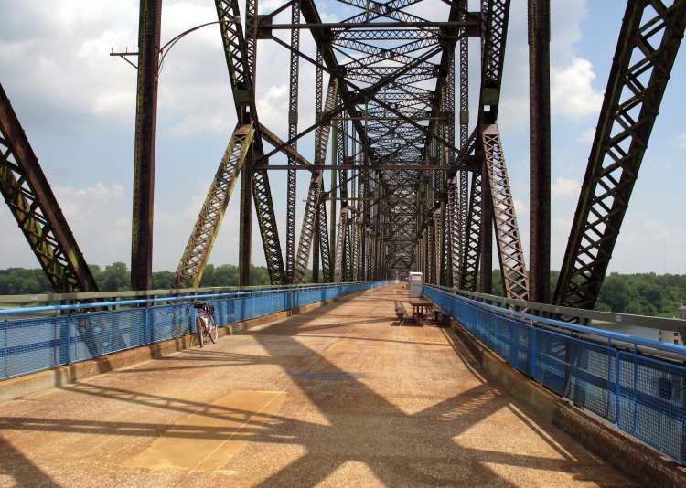
This bend in the bridge gave truckers fits and caused traffic jams. Here I called my brother and longtime Route 66 traveling companion to tell him I was biking across the Chain of Rocks Bridge, which he thought was pretty cool.
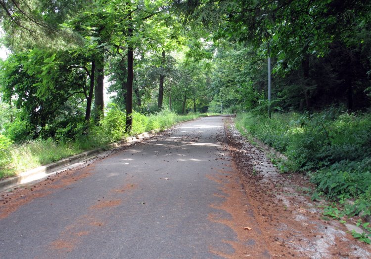
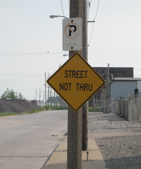
I ended Ride 47 at the Missouri end of the bridge, but on this day I foolishly (despite the heat and a dwindling water supply) continued south along the Riverfront Trail and beyond to the Gateway Arch. This pleasantly shaded segment of the Riverfront Trail traverses former streets (notice the curbs here as well as the street signs in the next photo below).
I'm glad I didn't have to climb that hill!
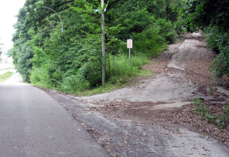

I think I was harsh in my description of the Riverfront Trail in Biking Illinois mainly because not-so-scenic scenes like this stuck with me.
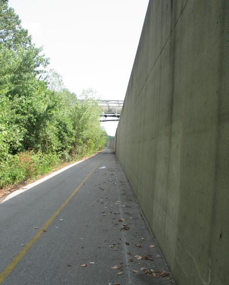
Oddly enough, there aren't many good views of the Mississippi from the Riverfront Trail.
At this point, I was out of water and well on my way toward severe dehydration. I found no water sources along the trail. Now there is a Freedom Crossing Visitor Center near here with a drinking fountain.


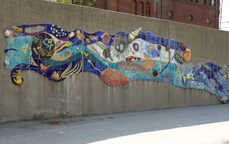
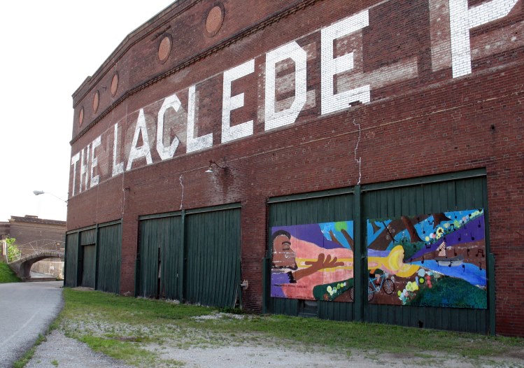
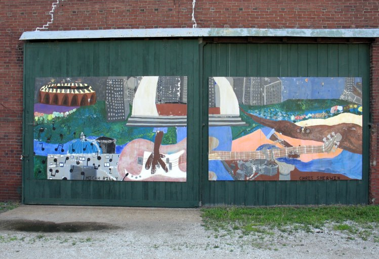
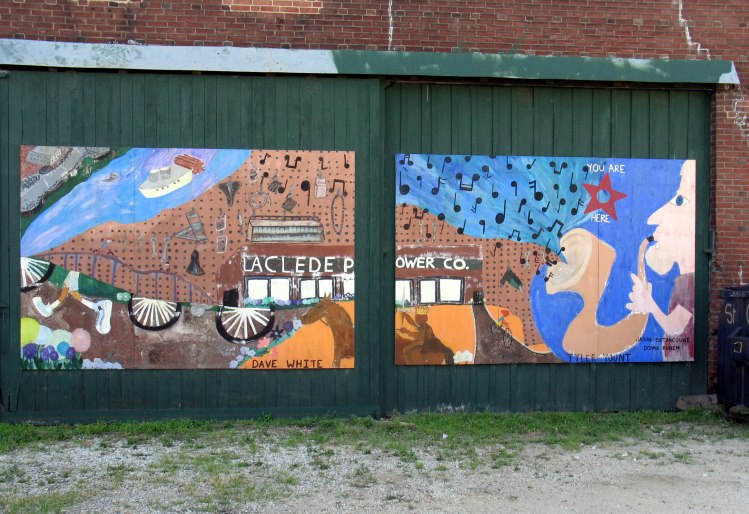
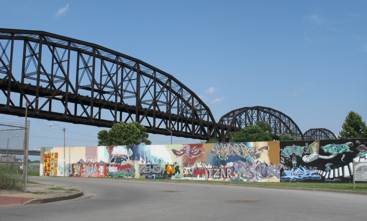
This elaborate tile mural is " Reflecting On A River" by Catharine Magel.
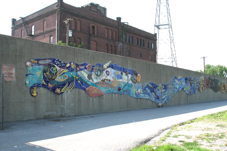
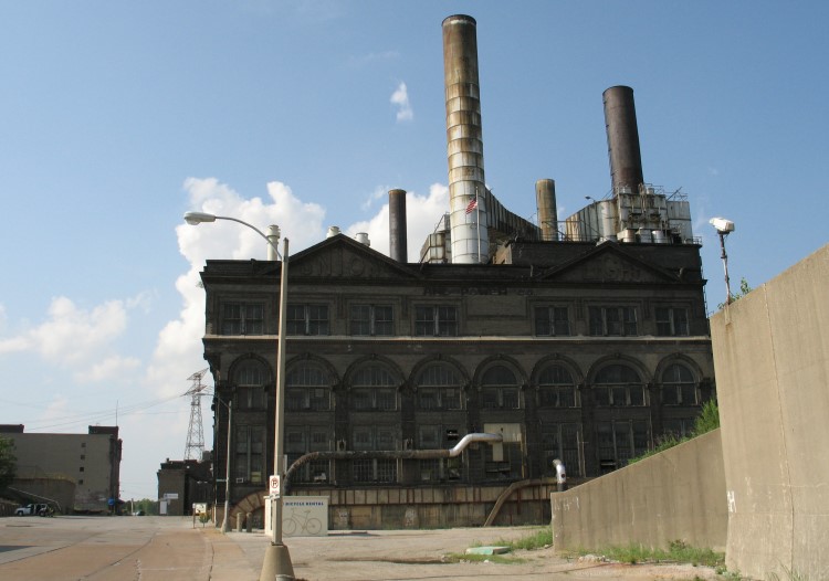
The Riverfront Trail ends near the Laclede Power Building.

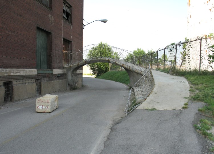
I love this curvy bridge, but I hope no one gets confused by that Riverfront Trail sign -- the trail goes under the bridge -- and follows the curving concrete into that closed door!
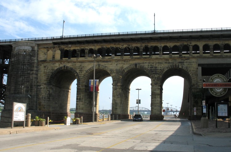
There are more bridges downtown.
The Eads Bridge is the most famous bridge in Saint Louis and probably on the entire Mississippi River. The pavement was abominable when I drove across it in 1990, but since then it has been resurfaced and reconfigured to accommodate bicyclists and pedestrians.
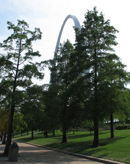
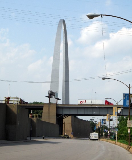
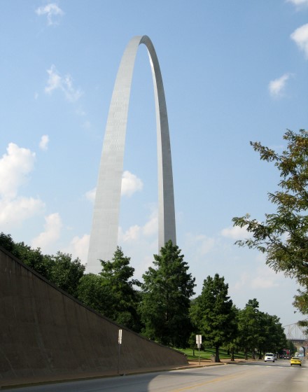
Finally, here's the Gateway Arch! More importantly, this was where I finally found water. An ice cream truck had half-liter bottles for $2.50 each. I was so thirsty that I bought three bottles despite the ridiculous price. I drank one immediately and another shortly thereafter, saving the last bottle for the trip back to Lewis & Clark State Historic Site. In retrospect, I should have bought much more.
I continued south past the Arch for no good reason, except that I got to see this unusual street sign. In my dehydrated delirium, I thought it sounded like Yoda and nearly laughed myself dizzy.
More bridge photos:
More Arch photos. In the first one, I was trying to make it look like the interstate ran underneath the Arch.


I like this view of the Eads Bridge because it is aligned with the bridge behind it, but I can't remember whether I shot it that way on purpose or not. There's a lot I don't remember clearly about my return trip to Illinois.

When I first visited the Arch sometime in the 1990s, I thought it was really weird that an active railroad ran right through the surrounding park.
This is the Union Light & Power Building. Note the bicycle rental building in the foreground (not open that day -- maybe on weekends?).
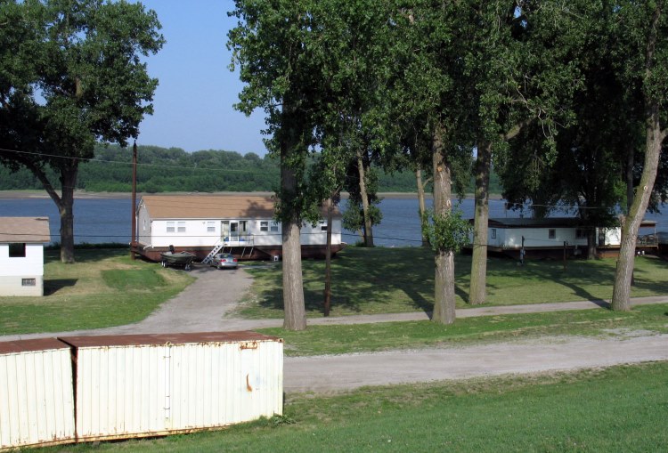
This seemed ingenious to me. If you live next to the river, why not build your house on a barge?
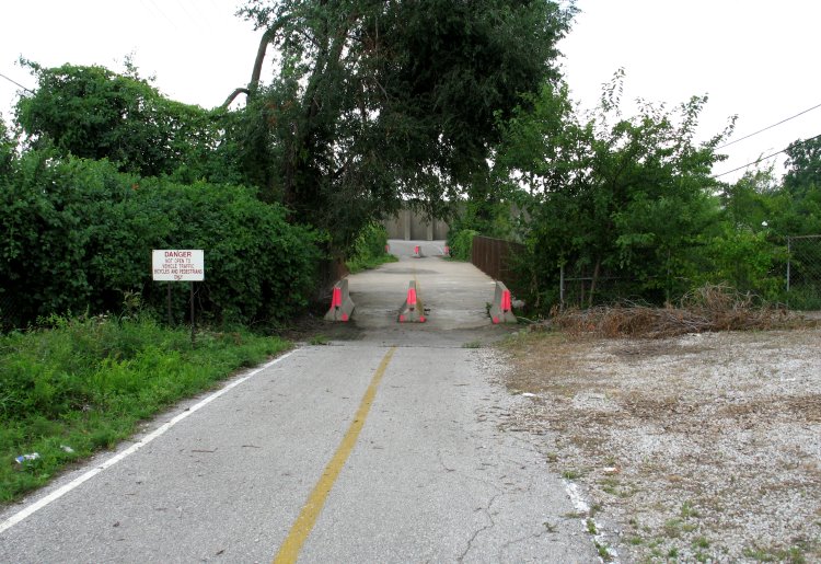
Part of the Riverfront Trail was badly in need of maintenance.

I made it back to the Chain of Rocks Bridge.
By now, I was in serious trouble. I had seven miles left to ride and half a liter of water. At least the water was still cool thanks to the insulation in my Arkel TailRider pack. I started to drink, but I immediately became nauseous. I've had enough experience with heat and dehydration as a runner and a cyclist to know that it all came down to this: if I threw up, I would end up in the hospital with an IV drip. While I tried to hold my GI tract together, I managed to take a few photos in the late afternoon light.

I managed to make it off the bridge and back onto the Confluence Trail. I pedaled weakly, but I kept moving. I was about as happy to see Camp River DuBois again as Lewis & Clark probably were to see Saint Louis after their expedition.
I pedaled to my rental car, got inside, and cranked up the A/C full blast. It took twenty minutes before I could muster the strength to even get out and toss the bike into the car. On the way back to my motel, I stopped for a big bottle of water plus a 64-ounce fountain Coke. Of course, the kicker to all of this is that I decided not to include the Riverfront Trail in Ride 47 of Biking Illinois, making my suffering a waste of time and effort.
For more recent photos (summer 2009), look here and here.
![]()
Copyright © 2002-2013 David Johnsen. All rights reserved.