![]()
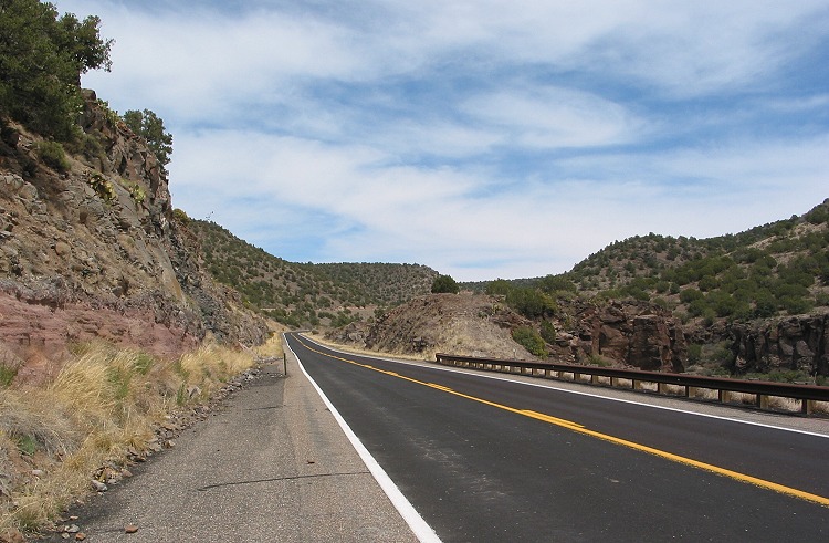
The bluff along Clear Creek to the north was visible from SR 260.
|
The bluff along Clear Creek to the north was visible from SR 260. |
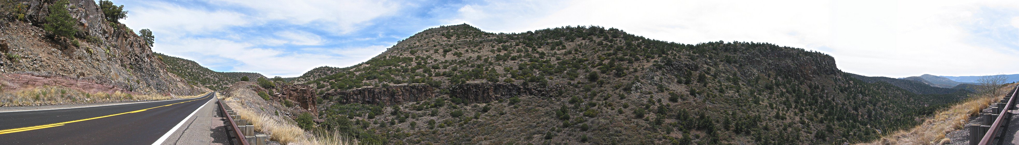
This panoramic view shows the beginning of my final descent from the Mogollon Rim. For an extra large version (549K), click here. |
|
|
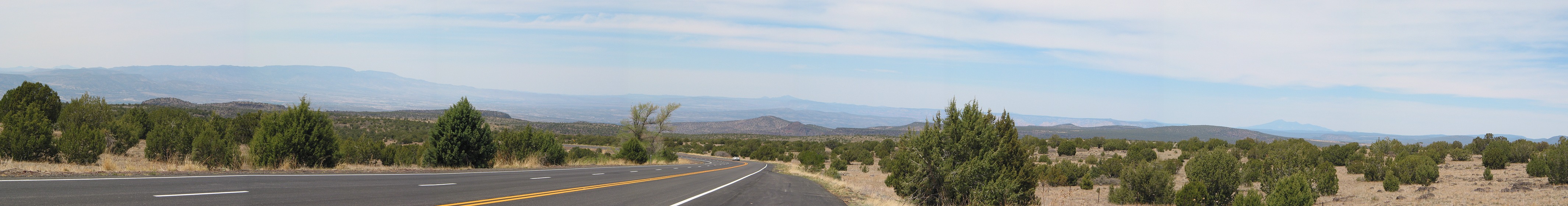
Here is another panorama photographed a couple miles further down the road. For an extra large version (549K), click here. |
This is a view from another angle, on the other side of the road. |
|
|
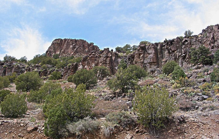
After several weeks in the Southwest, I was still awed by every rocky cliff I saw. |
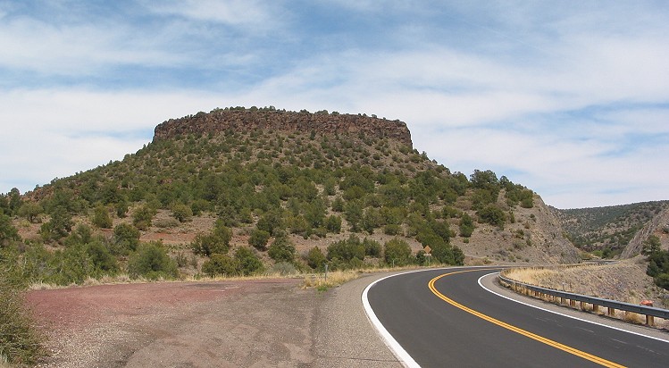
I wasn't sure whether to call this a butte or a mesa. |
|
Copyright © 2002-2013 David Johnsen. All rights reserved.

