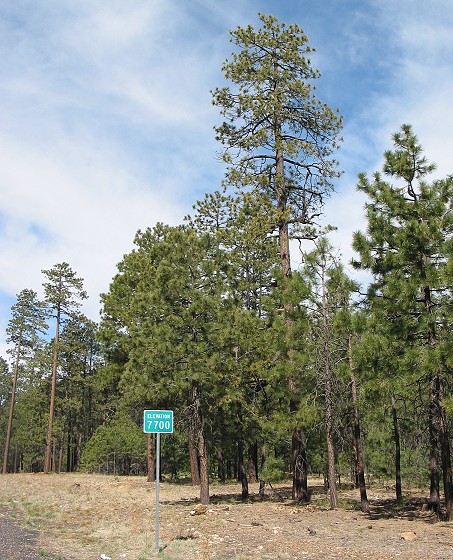
Just a few minutes into my ride, I came to a sign marking the elevation at 7,700 feet. The day before, I had descended to 6,000 feet in Heber.
|
Just a few minutes into my ride, I came to a sign marking the elevation at 7,700 feet. The day before, I had descended to 6,000 feet in Heber. |
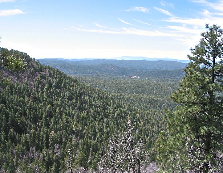
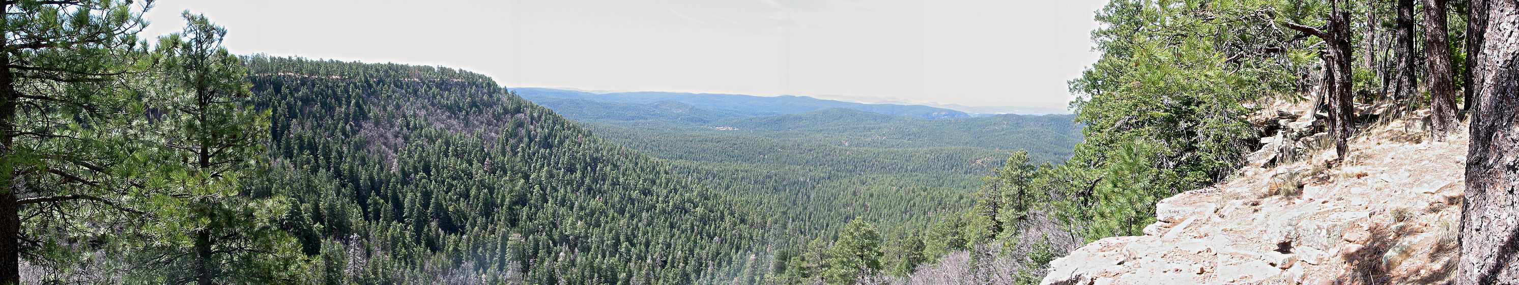
I was atop the Mogollon Rim, right near the edge. The views were incredible. |
|
|
Pine trees stretched for miles and miles below. |
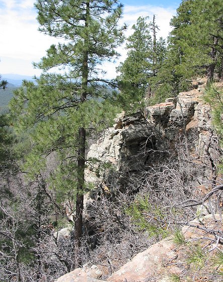
This photo shows the rocky ledge of the Mogollon Rim. |
|
|
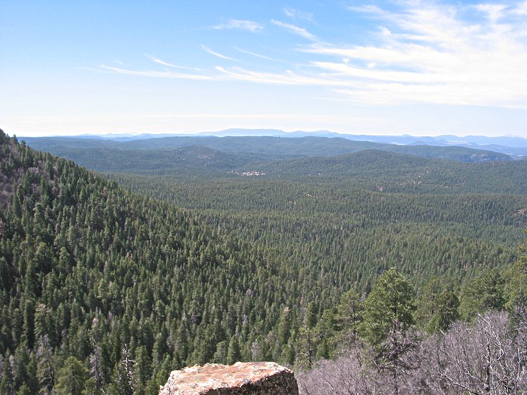
Here is a panoramic photo of the view in the above photos. For an extra large version (614K), click here. |
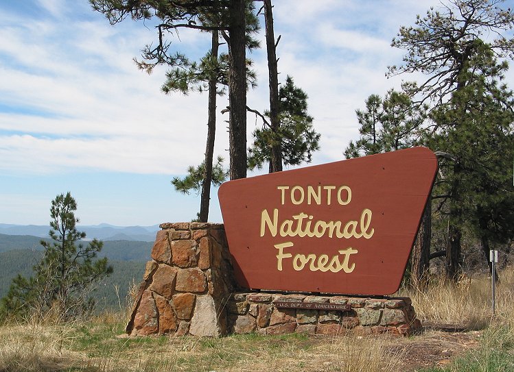
I passed from Apache-Sitgreaves National Forest into Tonto National Forest, which stretches all the way to the Phoenix metropolitan area. |
|
|
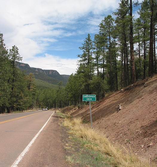
Somehow I neglected to take any pictures of the dramatic descent from the Rim. The first town at the bottom was Christopher Creek. |
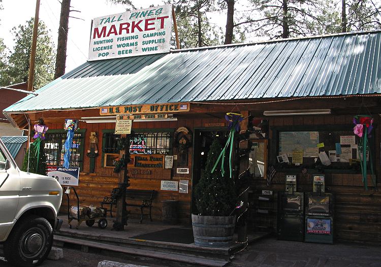
Tall Pines Market was the post office, general store, bait shop and nerve center of Christopher Creek. |
|
Copyright © 2002-2013 David Johnsen. All rights reserved.
